

Welcome to the community website for Tarland and Cromar.
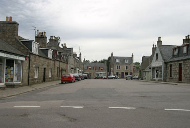
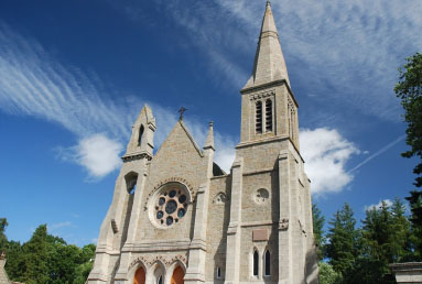
The Howe of Cromar is home to the communities of Logie Coldstone, Coull, Ordie and Migvie with Tarland, the largest village, at its heart.
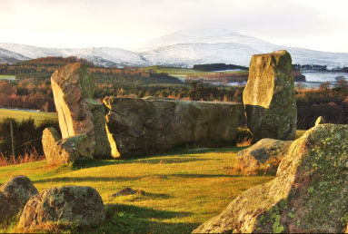
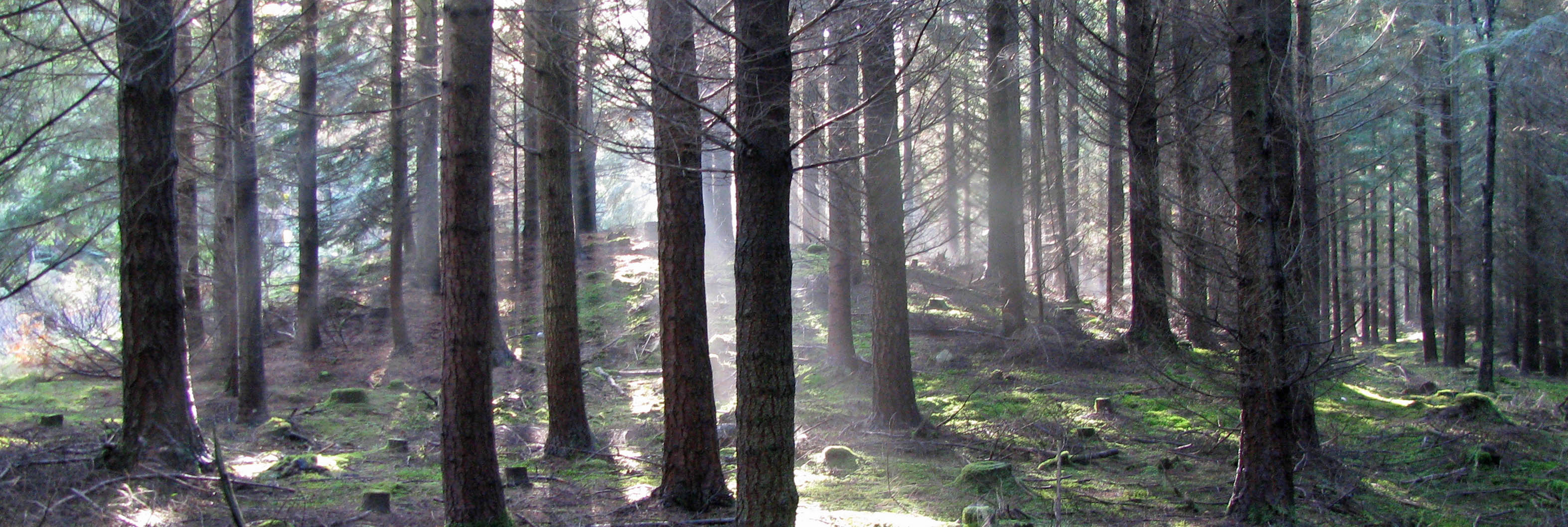
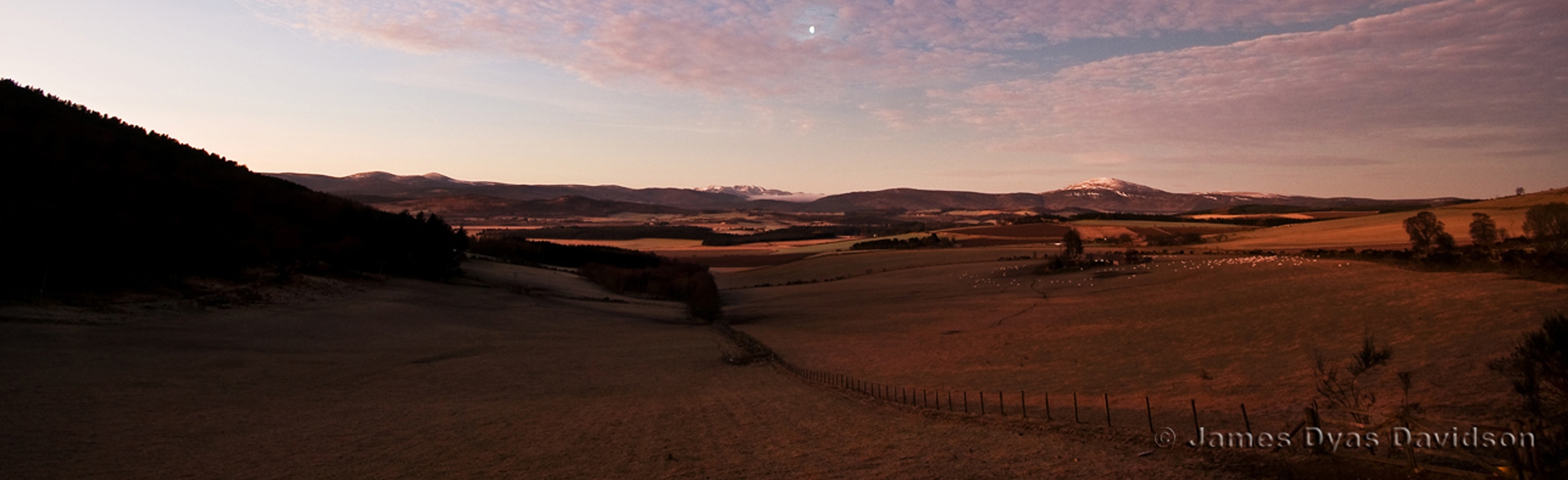
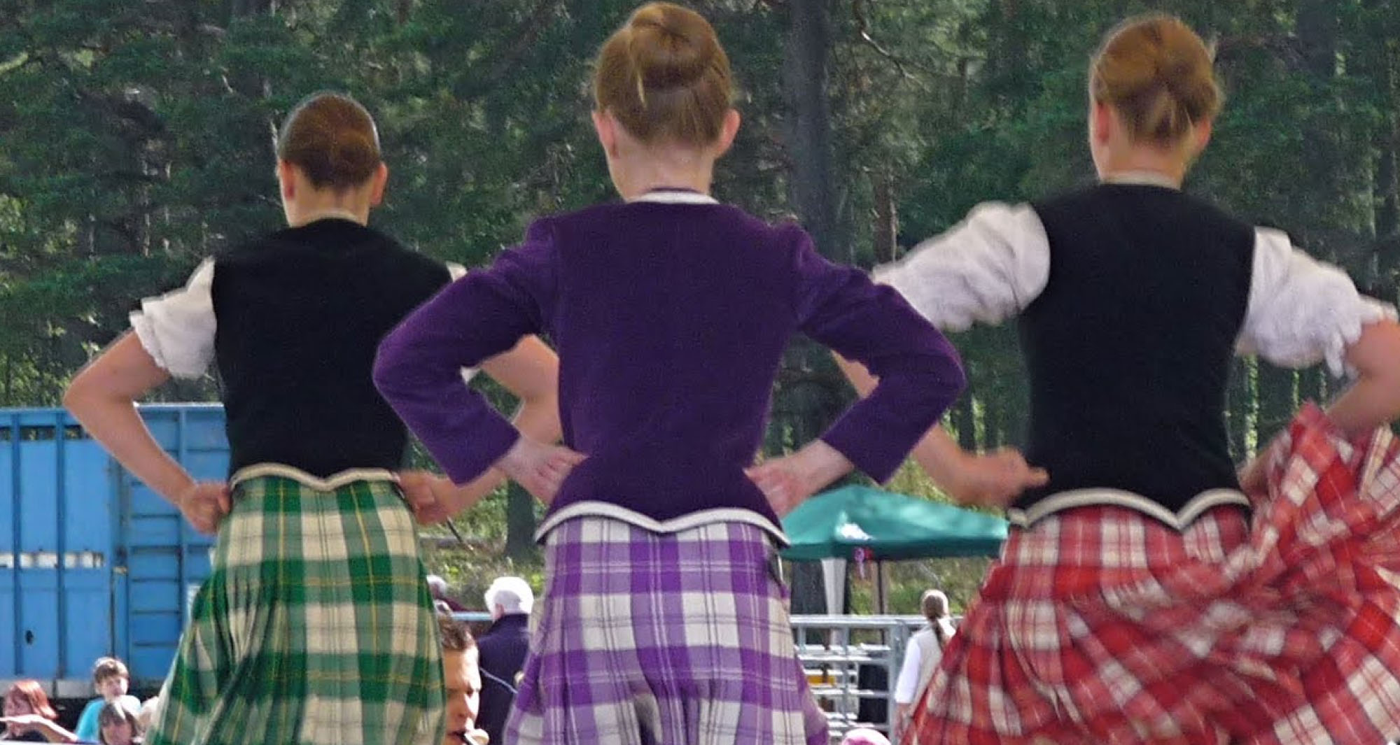
Cromar has much to offer the visitor. It is an area of exceptional beauty on the edge of the Cairngorms National Park and Royal Deeside with a thriving community, great fiddle tradition and hospitality. This is a very special part of Scotland with much to interest the walker and the naturalist, steeped in history, with one of the best examples of a recumbent stone circle at Tomnaverie and evidence of settlement going back 6,000yrs.
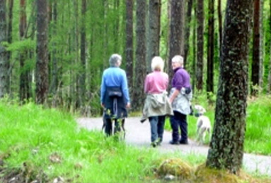
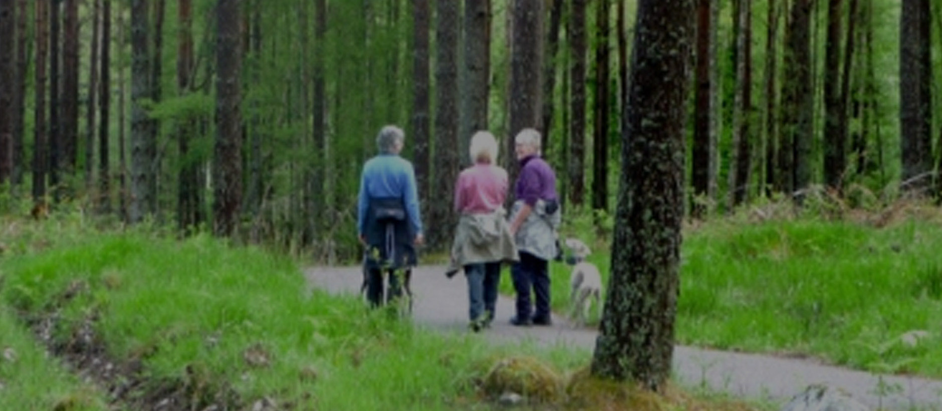
Here is good food, excellent walking, mountain biking, playpark, wildlife and more, a great location for all ages.